3D Aerial scanning | Drone scanning
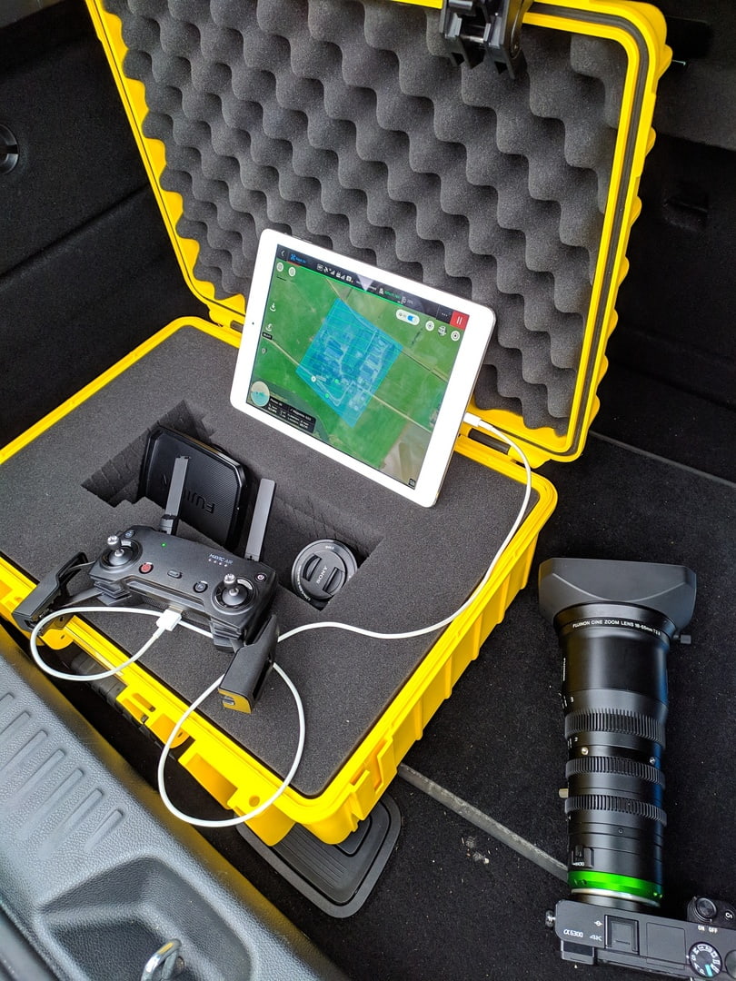
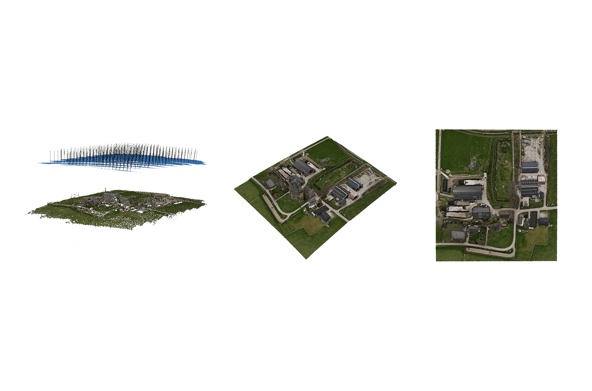
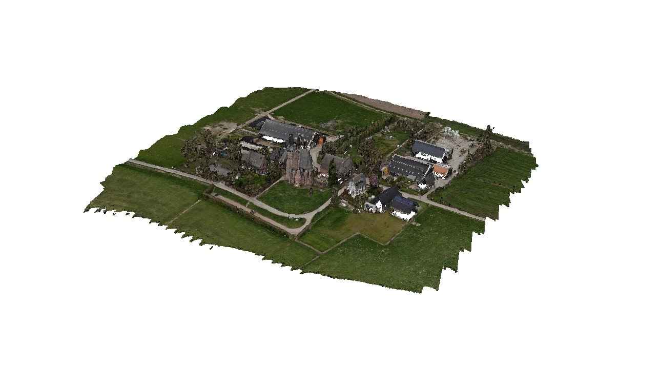
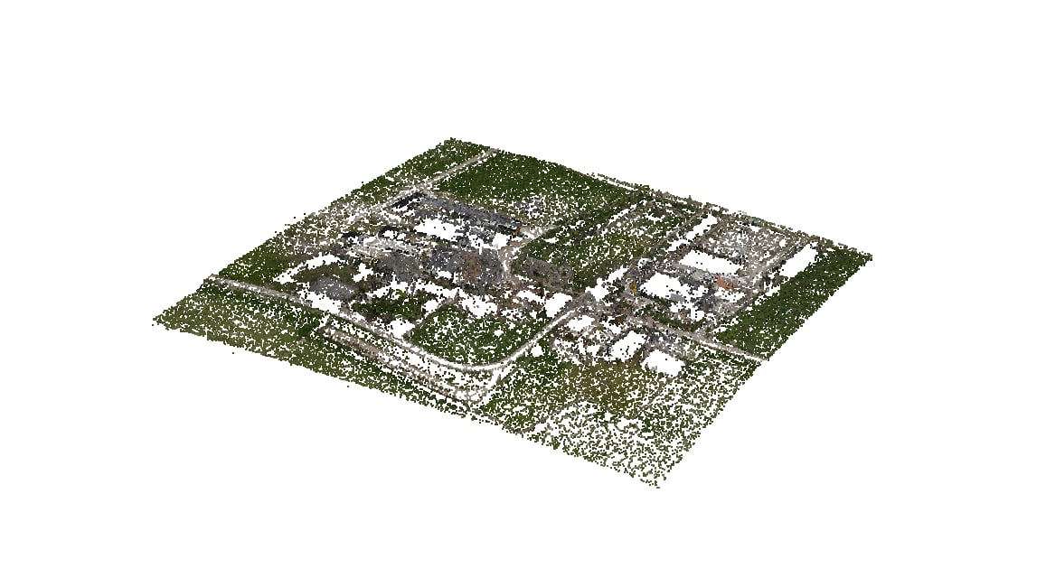
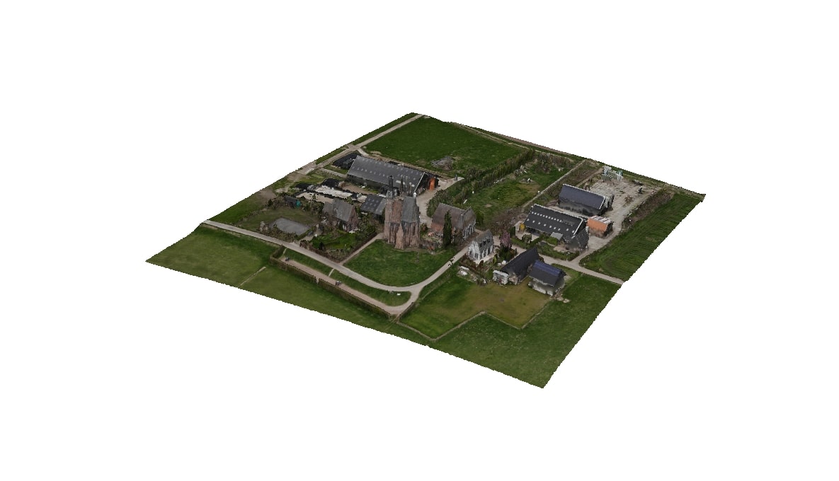
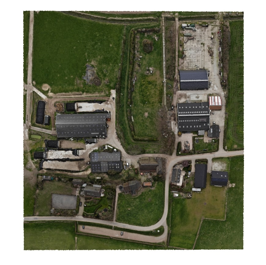
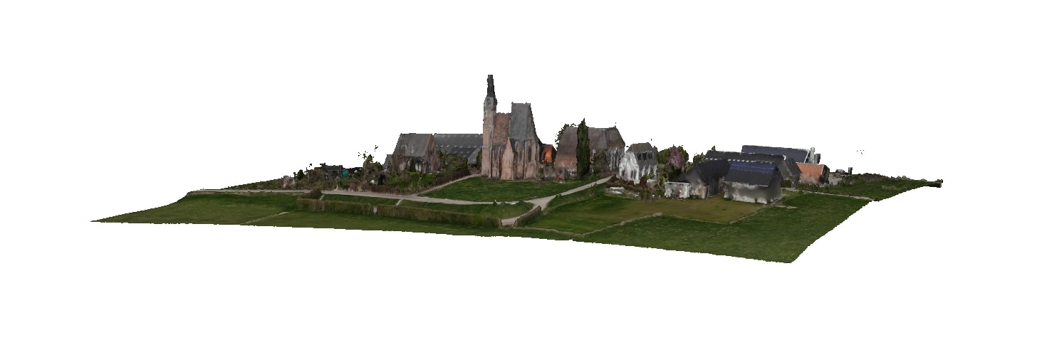
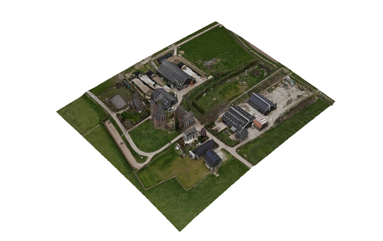
This was a personal project to test the DJI Mavic Air in combination with drone deploy. The drone flew autonomously while taking images in a pre-planned pattern. The images were collected after the flight and stitched together to create a point cloud. The point cloud contains depth/height data to create a 3D reference model. See images below. There are many use cases for 3D aerial scanning, besides creating 3D terrains it is also possible to do agriculture research or calculate sertain terreins.